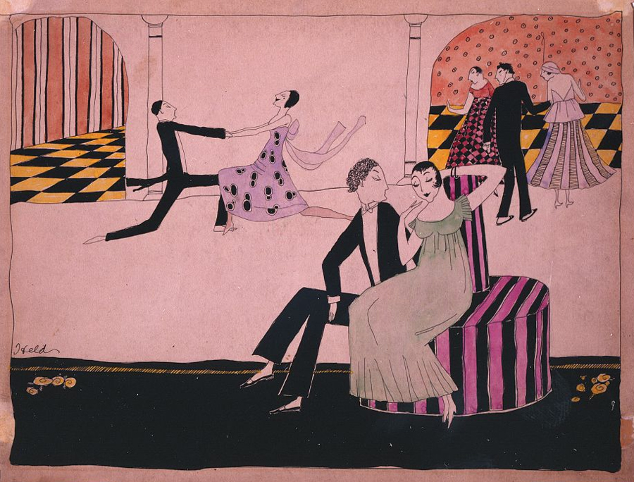
Featured Source: Julian and Julienne
More jazz related posts
three-step activities spanning subjects and grades
More jazz related posts
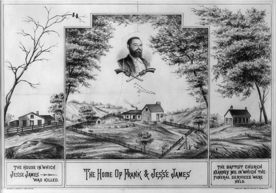
Jesse James resources
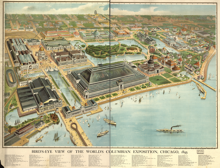
Which U.S. states had buildings at the 1893 World’s Columbian Exposition in Chicago? Label them with their state abbreviations on the map. Describe 10 objects you see on the map; on another page, note the location of each object (hint: use the map coordinates). Pass your object description list to someone and challenge that friend to…
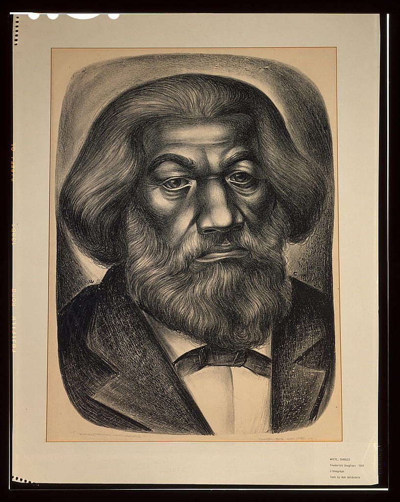
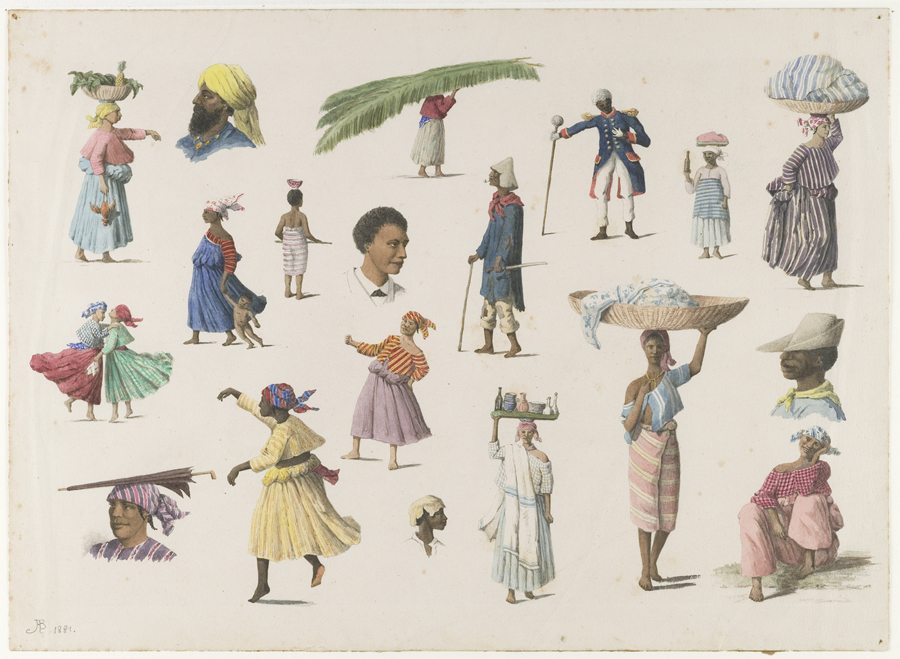
More Frederick Douglass primary sources
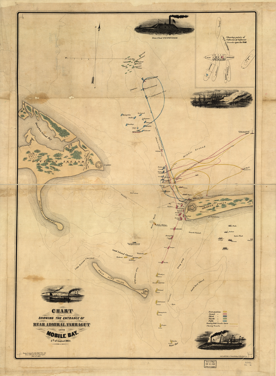
Zoom into this map (online | .pdf) and use the primary source analysis tool (digital | paper) to analyze this source. Read “Damn the Torpedoes!” from the New York Times Disunion series, then take another look at this map. Explain new insights into this map that you gained. Analyze another primary source related to the 1864 Battle of…
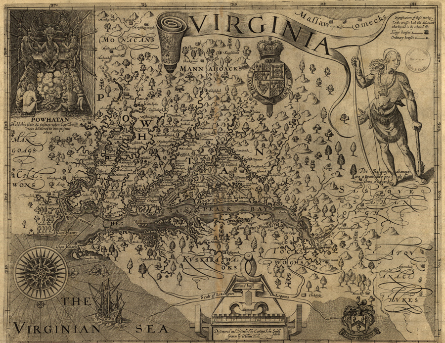
Use the zoom feature online or access a larger image of this map (zoomable map | enlarged map). What details do you notice first? What else strikes you as interesting? Why do you think John Smith made this map? What scale is used for this map? What scale is typically used for maps today? The map…