Tech Tool: Creating a Google Form Zoom-in Activity

Tech Tool: Creating a Google Form Zoom-in Activity

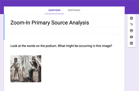
This is a guest post from Sara Conyers, a middle school history teacher at Longfellow Middle School in Falls Church, Virginia. Creating a Zoom-in primary source analysis activity using Google Forms is quick and easy. Step 1 – Select Image Select a primary source image that will challenge your students to dig deeper into the meaning and…

Tech Tool: Primary Source Analysis & Annotation with ThingLink

Tech Tool: Primary Source Analysis & Annotation with ThingLink

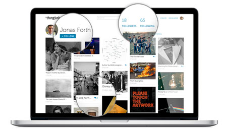
ThingLink is an online tool that allows you to layer images and videos with text, web links, and other media files. Most digitized primary sources from the Library of Congress, including most text documents, are saved as image files so ThingLink is a great tool for analyzing and annotating primary sources directly on the sources…

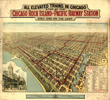
All elevated trains in Chicago stop at the Chicago Rock Island and Pacific Railway Station, only one on the Loop

Using Sources: Viewing, Saving & Printing Maps

Overview The Library of Congress cartographic collection is the largest in the world and contains millions of maps, thousands of which are available online from the LOC.gov website. The Library interface allows you to zoom into these digitized maps in incredible detail simply through your web browser, save the maps in a variety of sizes…