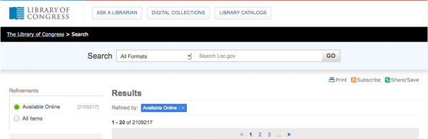
Overview The Library of Congress cartographic collection is the largest in the world and contains millions of maps, thousands of which are available online from the LOC.gov website. The Library interface allows you to zoom into these digitized maps in incredible detail simply through your web browser, save the maps in a variety of sizes for offline viewing, and even print the maps out. Viewing maps online Click on an item from a search result to view the map's bibliographic record and a … [Read more...]
You are here: Home / Archives for saving
Using Sources: Viewing, Saving & Printing Maps
Filed Under: Tech Tips & Tutorials Tagged With: maps, microsoft paint, posterazor, printing, saving, tech tips, TTT, tutorial, using sources, viewing
Finding Resources: Searching Across LOC.gov

Searching Across LOC.gov The Library of Congress is continually making improvements to the search functions of the online Library. Although the Library is vast and contains many sections, fruitful searches across LOC.gov are possible. Keyword Search Tips Remember when searching for historical primary sources that you may need to try different terms applicable to the time period you are searching and which may be uncomfortable today. For help, consult the Library's Research Guides, which … [Read more...]
Filed Under: Tech Tips & Tutorials Tagged With: finding resources, loc.gov, refining search, saving, search, search by subject, search options, search results, search tips, searching, sharing, subject search, tech tips, TTT, tutorials