Finding Resources: Story Maps

Finding Resources: Story Maps

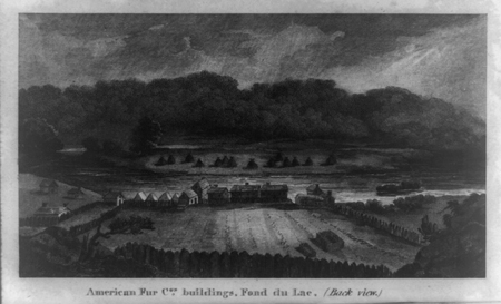
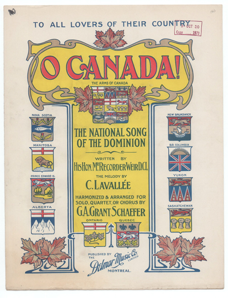
Story Maps are immersive web applications that tell the incredible stories of the Library’s collections through narrative, multimedia, and interactive maps. The story maps are created within a Geographic Information Systems (GIS)-based software platform created by Esri. Story Maps are chock full of primary sources, including photographs, illustrations, texts, newspaper articles, and even maps. “I find story…

Primary Source Spotlight: North American Fur Trade

Primary Source Spotlight: North American Fur Trade

Articles Before Lewis & Clark, Lewis & Clark and the Revealing of America online exhibition (scroll down to access Exploration of the Missouri River & British Passage to the Pacific sections) After Lewis & Clark, Lewis & Clark and the Revealing of America online exhibition (scroll down to access the Fur Trade section) A Fortune Made from Fur: John Jacob…

World Spotlight: Canada

World Spotlight: Canada

Canada primary sources from the World Digital Library Canada maps Books & other texts about Canada Reports & correspondence related to Canada Canada U.S. historical newspaper coverage Canada images Historic films featuring Canada Canada/Canadian song recordings Canada/Canadian sheet music U.S. legislation related to Canada Guide to Law Online: Canada In Custodia Legis blog posts related to Canada Canada country profile BBC…