Using Sources: Viewing, Saving & Printing Maps
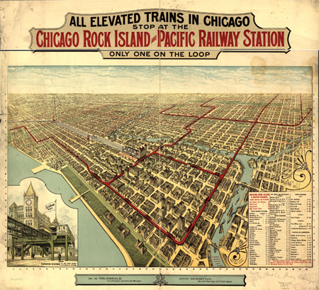
Overview The Library of Congress cartographic collection is the largest in the world and contains millions of maps, thousands of which are available online from the LOC.gov website. The Library interface allows you to zoom into these digitized maps in incredible detail simply through your web browser, save the maps in a variety of sizes…

