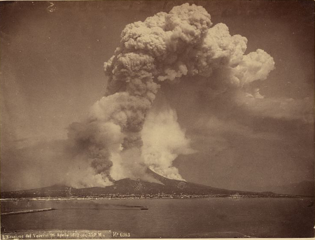
Mount Vesuvias

Collections Spotlight: Volcanoes

Volcano maps Volcano images U.S. historical newspaper coverage: volcano eruptions Krakatoa Volcano Eruption (1883): Topics in Chronicling America select articles & timeline Books, reports & other texts about volcanoes U.S. legislation related to volcanoes U.S. Geological Survey: Volcano Hazards Program Places in the News articles related to volcanoes Japan: Active Volcanoes Special Measures Act Amended…

flooding

Collections Spotlight: Floods & Landslides

Floods Flood images Flood maps Oral histories related to floods Flood sheet music Swept by Mighty Waters c. 1913 Books, reports and other texts related to floods U.S. historical newspaper coverage: flood disasters Johnstown Flood (1899): Topics in Chronicling America select articles & timeline Galveston Flood of 1900: Topics in Chronicling America select articles & timeline…

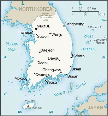
South Korea Map 2015

World Spotlight: Republic of Korea (South Korea)

Republic of Korea maps South Korea maps Maps of Seoul, South Korea Under Japanese Occupation South Korea images Republic of Korea reports & other texts South Korea reports & other texts Republic of Korea: historical U.S. newspaper coverage South Korea: historical U.S. newspaper coverage Korean Culture Art Program and Concert event recording Republic of Korea:…

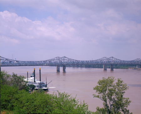
Mississippi River

Primary Source Spotlight: Mississippi River

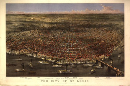
Mississippi River maps Mississippi River images Civil War Mississippi River Fleet image set The River 1938 film Audio recordings related to the Mississippi River songs & oral histories The Mississippi River 1851 sheet music Correspondence related to the Mississippi River Reports & other texts related to the Mississippi River Mississippi River historical newspaper articles &…

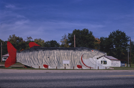
Big Fish Supper Club

Collection Connections: America’s Roadways

John Margolies Roadside America photograph archive Collection overview Free to Use and Reuse: Selections from the archive Roadside America Flickr album Roadside America Story Map Caught Our Eyes: Coffee and Donuts, Anyone? Picture This August 9, 2012 “Exclamation Points”—John Margolies Photographs of Roadside America Ready for Touring Picture This June 21, 2017 On the Road…

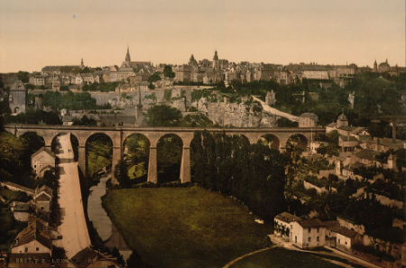
Luxembourg

World Spotlight: Luxembourg

Luxembourg maps Luxembourg images Entrance to the town, Luxembourg The town, Luxembourg Clustered roofs and spires of Luxembourg Quaint riverside houses and picturesque towers of the Upper Town, of historic Luxembourg Grocery store, Luxembourg Grand Duke of Luxembourg Prince Rupprecht (Bavaria) & Antonie of Luxemburg Marie Adelaide, Grand Duchess of Luxembourg Grand Duchess – Luxemburg…

Million Native American March

Primary Source Spotlight: Native American History & Heritage

PSN curated source sets More Native American trailblazers More primary source sets Library collections & primary source sets Veterans History Project Legal Resources Spotlights, Features & Special Presentations Teaching & learning resources Library blog posts Teaching with the Library More posts from Library blogs Webcast videos Recommended links to resources outside the Library of Congress

Egypt. Fly TWA

World Spotlight: Egypt

Egypt country study Egypt country profile BBC Egypt timeline BBC Places in the News: Lebanon July 2005 November 2011 August 2013 May 2016 Egypt primary source set World Digital Library Egypt maps Egypt image set Sheet music related to Egypt Song recordings related to Egypt Books & articles about Egypt Films & webcasts related to Egypt U.S. veteran…

analyzing-primary-sources

Analyzing Primary Sources: Tools & Guides

Primary sources, as described by the Library of Congress, “are the raw materials of history — original documents and objects that were created at the time under study. They are different from secondary sources, accounts that retell, analyze, or interpret events, usually at a distance of time or place. Bringing young people into close contact with…

Story Maps

Finding Resources: Story Maps

Story Maps are immersive web applications that tell the incredible stories of the Library’s collections through narrative, multimedia, and interactive maps. The story maps are created within a Geographic Information Systems (GIS)-based software platform created by Esri. Story Maps are chock full of primary sources, including photographs, illustrations, texts, newspaper articles, and even maps. “I find story…