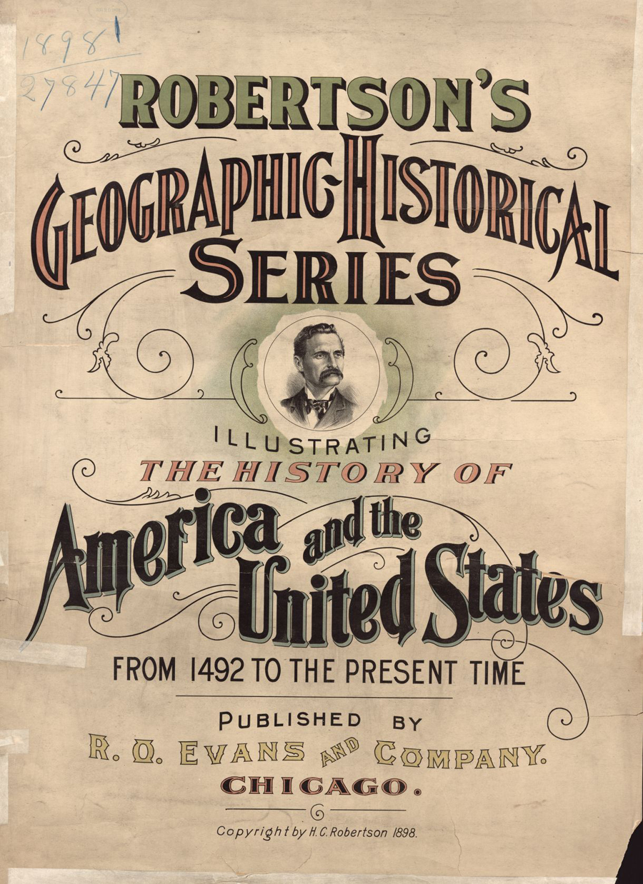
Guided Primary Source Analysis: Robertson’s Geographic-Historical Series
Who do you think is pictured on the cover of this atlas? Why do you think that? How many years does this atlas cover? Review the list of pages below and choose one title to investigate further. Click the image above to access the digital pages. What did you discover about the topic and time…