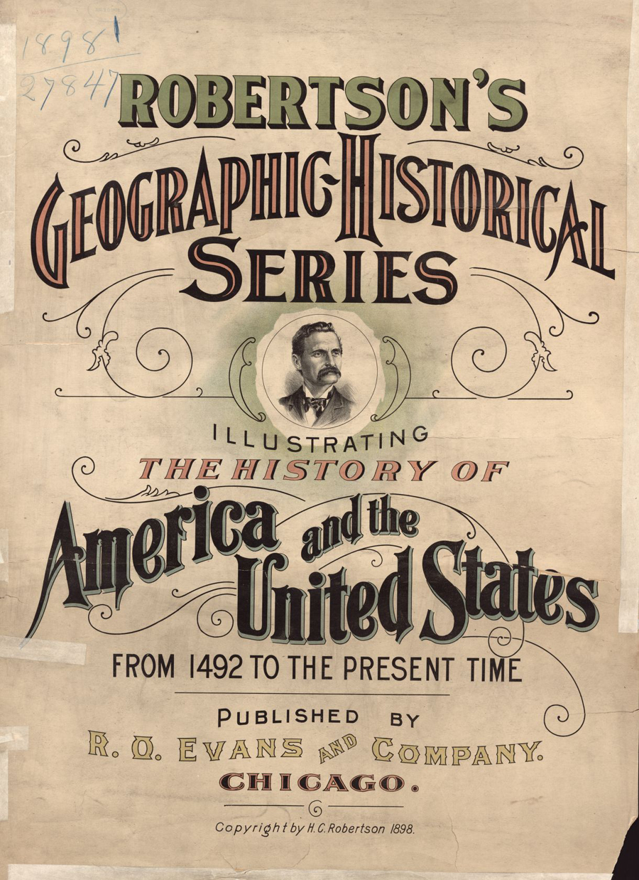
Guided Primary Source Analysis: Robertson’s Geographic-Historical Series

Who do you think is pictured on the cover of this atlas? Why do you think that?
How many years does this atlas cover?
Review the list of pages below and choose one title to investigate further. Click the image above to access the digital pages. What did you discover about the topic and time period that you chose?
What other observations, reflections or questions does this source inspire? Let us know!
Pages – click the image above to view all
— [Title sheet]
— The Earth
— The Earth as known when Columbus sailed
— Columbus’ voyages
— Location of Indian tribes 1492
— The Cabots
— Ponce de Leon and Balboa
— Magellan’s voyages
— Spanish in America at close of the sixteenth century
— French explorers (a)
— French explorers (b)
— French explorers (c)
— Drake, Frobisher and Gosnold
— Attempted colony by Raleigh
— Settlements — Settlements of Virginia
— [S.n.] — Hudson’s discoveries
— Settlement of Massachusetts
— Settlement of New York
— Conflicting grants
— The inter-colonial wars
— Braddock’s defeat
— Greene’s retreat
— Miscellaneous
— Siege of Quebec
— English, French and Spanish possessions
— British and Spanish possessions
— Siege of Boston
— Lexington and Bunker Hill
— Siege and surrender at Yorktown
— Campaign in New York
— The Revolutionary War
— Burgoyne’s invasion
— United States after Sept. 3, 1783/The thirteen original states
— Organization and development [1789-1845]
— Organization and development [1845-1865]
— Battle of Bull Run
— First attempt to open the Mississippi
— McClellan’s first advance on Richmond
— [Battle of Gettysburg]
— Fall of Vicksburg
— Grant’s advance on Richmond
— Sherman’s march to the sea
— Organization and development [1865-1897]
— McKinley’s administration, 1897
— Territorial growth
— Tables of comparison and statistics.
